Maps
VIEW THE FIRST EDITION OF THE NEWLY CREATED,
INTEGRATED FOREST OBSERVATORY SYSTEM, March 2021
In the system -for the time being- you can see community patrol data, with access to photos and categorization, Info about the Economic Land concessions of Cambodia plus satellite monitoring data on deforestation stemming from the FCDM tool developed from the Joint Research Center of European Commission (JRC-EC) and the more widely known GLAD alerts and forest loss dataset from the University of Maryland.
MAPS
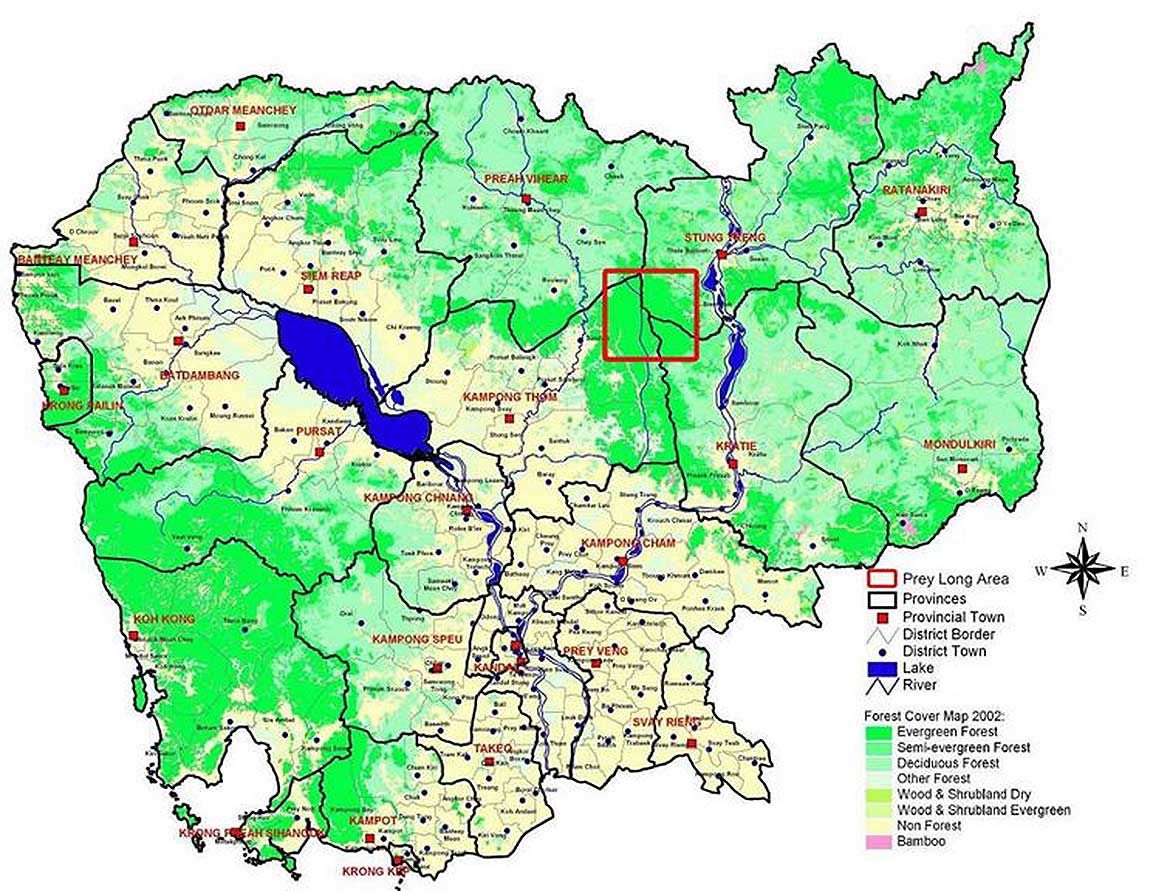
The following maps illustrate the decreasing development in the Prey Lang area from 2011-2016. The second map shows where in Cambodia the Prey Lang forest is located and the different types of forest within Prey Lang.